
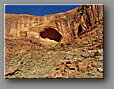
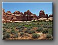
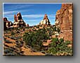
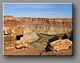
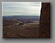
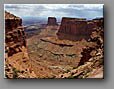
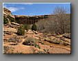
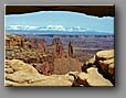
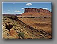
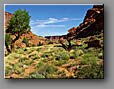
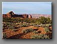
| Surrounding the confluence of the Green and Colorado Rivers, Canyonlands National Park is the largest of five national parks in Utah. It is divided by these rivers into three districts, each with its own character. These photos were taken in the Island in the Sky and Needles Districts. The thumbnails link to 11 galleries, with photos and descriptions of various Canyonlands hiking trails. |
Please click here to view QuickTime 360 degree panoramas from Canyonlands National Park.
home | photo of the week | mountain scenery | national parks | ski resorts | qtvr panoramas | sitemap