
|
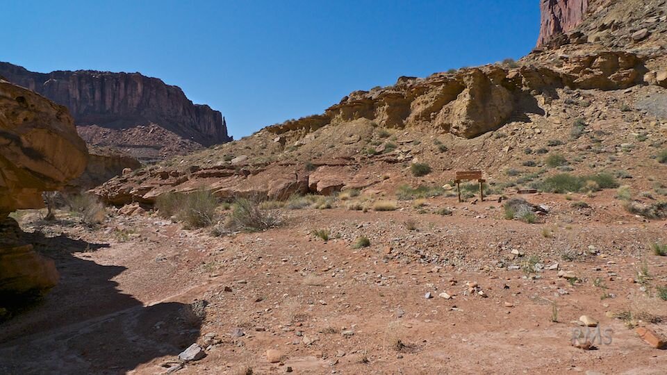
The trail sign marks the junction of Upheaval Canyon Trail and Syncline Loop Trail. Straight ahead, on the left side of the photo, is the route west down Upheaval Canyon toward Green River and White Rim Road where I hiked this day. Right leads to the northern section of Syncline Loop, Syncline Valley and a spur trail to Upheaval Dome Crater. Behind me is the southwest section of Syncline Loop Trail on which I arrived the previous day. |  |