|
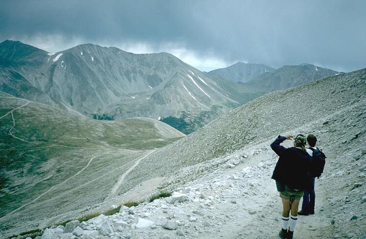
On the way back to the vehicle from Antero's summit, we're scoping the route we'll follow tomorrow on our attempt to reach the summits of Mount Shavano and Tabeguache Mountain. Shavano is the peak at far left and Tabeguache is to its right, separated by the saddle, approximately 500 feet below each peak. There is no trail, so we're trying to determine what looks like the path of least resistance. We've decided the grassy slope below the large snowfields looks best.
Our white vehicle can barely be seen parked on the road below us at about 13,500 feet. We'll be driving into the valley below (where trees can be seen) to camp along Browns Creek before beginning the long climb tomorrow. |