|
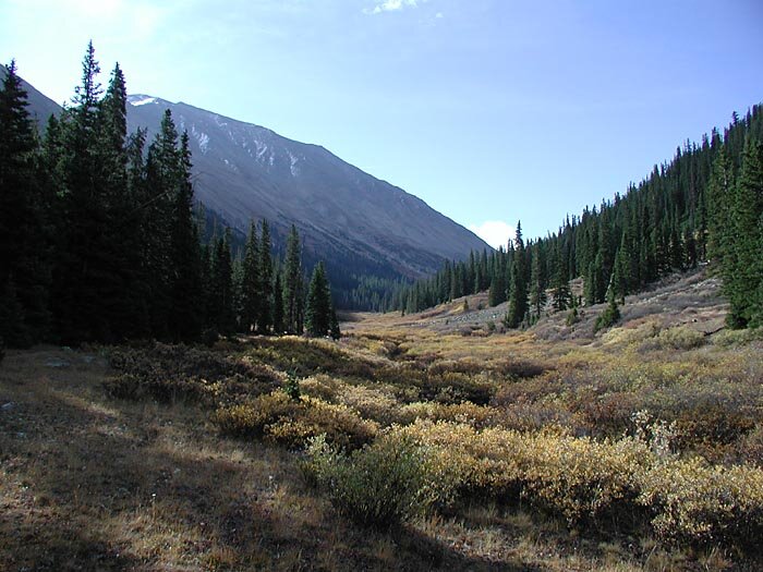
Our hike began at 10,200 feet, eight miles west of Twin Lakes Village on Highway 82. The trail begins a short distance up a dirt road from the parking area on 82. It climbs gradually, crossing the South Fork of Lake Creek and La Plata Gulch Creek before steepening and climbing to the 11,000 foot level of La Plata Gulch. A hundred meters south of here the trail leaves the gulch and begins a steep ascent toward the northwest ridge of La Plata Peak. The summit can be seen upper left, above the snow field.
|
|
|
|
|||